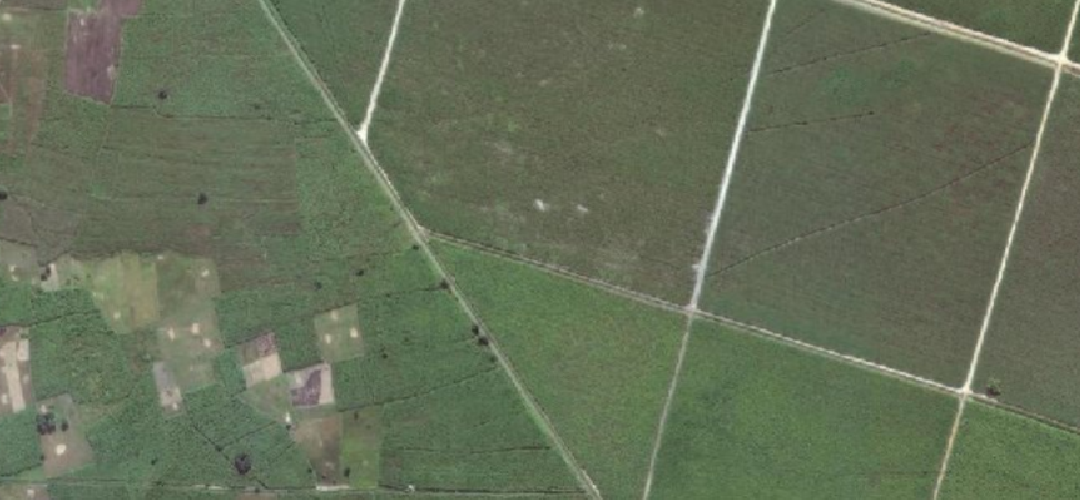
Mapping Agricultural Boundaries in Kilombero floodplain Using High-Resolution Satellite Imagery
(Leveraging Deep Learning and Geospatial Technologies to Identify, Delineate, and Map Agricultural Field Boundaries in the Kilombero Wetland, Morogoro, Tanzania.)
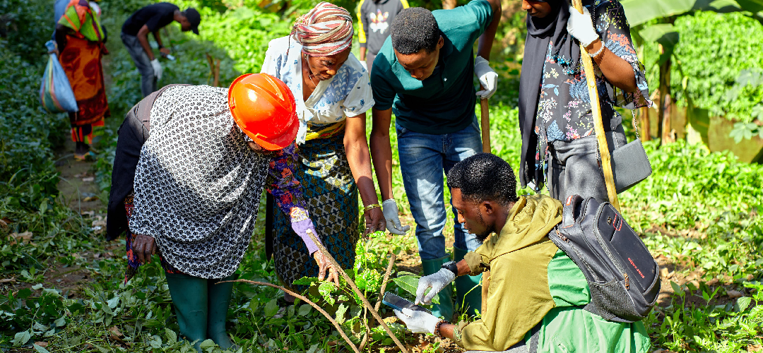
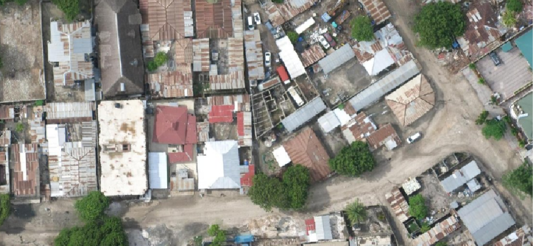
GeoTE was consulted to support data collection for this innovative mapping initiative, led by University of Dar es Salaam YouthMappers. The project explores the potential of deep learning models and geospatial technologies in identifying and mapping agricultural fields across the Kilombero Wetland in Morogoro, Tanzania. Through satellite imagery, data collection, and advanced mapping techniques, the initiative seeks to strengthen agricultural mapping and contribute to better-informed land-use planning and sustainable agricultural development.
This Projects Achievements:
- 5000 Agriculture plots captured
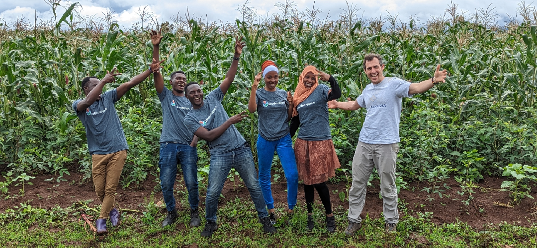
- 70 Youth Engaged