fAIrSwipe: AI-Powered Mapping of Illegal Waste Dumping Sites in Morogoro
(Leveraging High-Resolution Drone Imagery, MapSwipe, and Artificial Intelligence to Identify, Map, and Monitor Illegal Waste Dumping Sites Across Morogoro Municipality, Tanzania.)
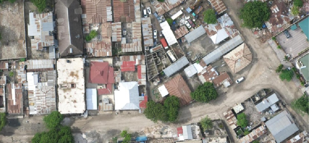
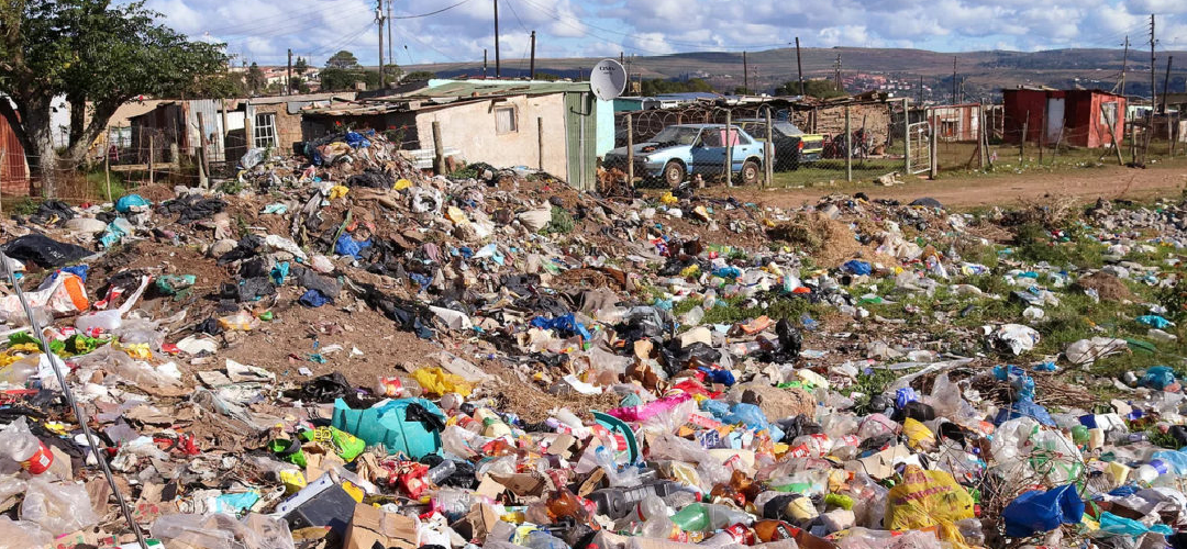
fAIrSwipe is a GeoTE initiative under the SmartTaka Hub, in collaboration with the Humanitarian OpenStreetMap Team (HOT), using high-resolution drone imagery, MapSwipe, and AI-assisted mapping to identify and map illegal waste dumping sites across three wards in Morogoro Municipality. The project aims to generate accurate, openly accessible geospatial data to support better waste management, environmental protection, and sustainable urban planning.
This Projects Achievements:
- Drone Imagery Acqusition