 Completed
GeoTE
Nov 23, 2023
Mapping Responsible Mining Practices and WASH Compliance
Achievements:
- 20 enumerators
- 36 companies surveyed
- 15 variables
 Completed
GeoTE
Jan 02, 2023
Crop Identification Pilot Project
Achievements:
- 22 YouthMappers Chapters Involved
- 1000+ Crop Datasets
- 5 Remote Mapping Projects
- 5 Variables
 Completed
GeoTE
Sep 09, 2022
MAPPING FLOOD PROTECTION ZONES AND EVACUATION ROUTES TO IMPROVE RESPONSE CAPABILITIES IN LOCAL COMMUNITIES
Achievements:
- 30,000+ Buildings Footprints
- 150+ Km Road Network
- 6000+ Residents Surveyed
- 4 Flood protection zones developed
- 10 Evacuation routes designed
 Completed
GeoTE
Feb 21, 2021
MAPPING PLASTICS WASTE TO ENHANCE MUNICIPAL WASTE AND DISASTER MANAGEMENT
Achievements:
- 9,000+ field data collected
- 40 Variables
- 300+ Youth involved
- 50+ community Mappers
 Completed
GeoTE
Feb 03, 2020
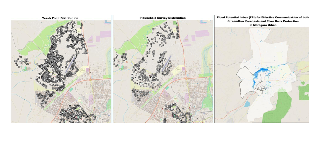
Flood Vulnerability Mapping
Achievements:
- 3000+ Trash Points in Morogoro Municipal
- 12 variables
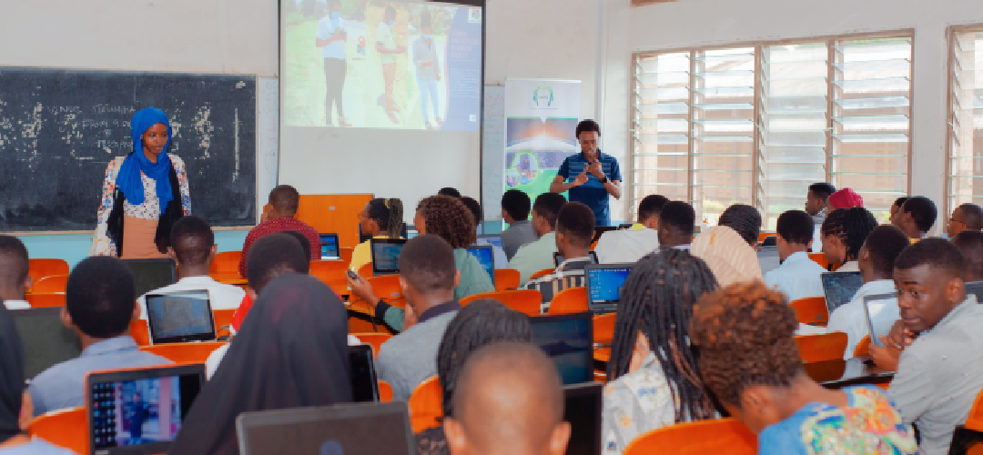
- 20 Data enumerators (Youth)
- Flood risk Map in Morogoro Municipal