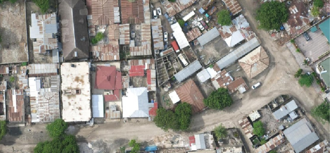
Mapping Roof Conditions in Dar Es Salaam using High Resolution Satellite Imagery and Drone Imagery
(Integrating Open-Source Nexus Modelling (AI) and Remote Sensing in Mapping Water-Related Indicators of Extreme Poverty)
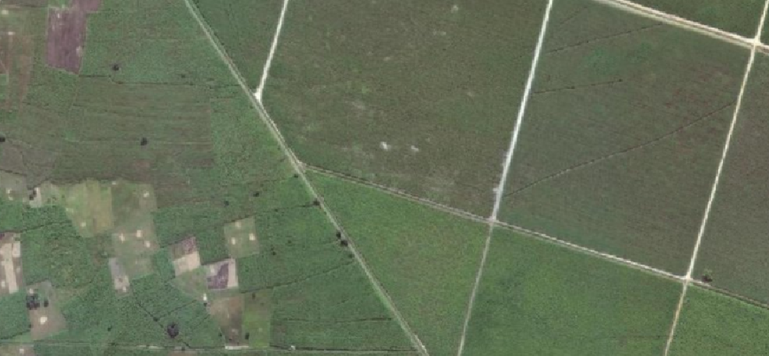
Global Water Partnership Tanzania, through its project titled “Integrating Open-Source Nexus Modelling (AI) and Remote Sensing in Mapping Water-Related Indicators of Extreme Poverty: The Case of the Urban Sub-Basin of the Coastal Catchment in the Wami-Ruvu Basin,” requested support from GeoTE to undertake data collection and remote mapping of household roof conditions and roof types using satellite imagery. To accomplish this task, GeoTE deployed a team of two personnel who worked intensively and collaboratively to develop a database containing more than 40,000 data points.
This Projects Achievements:
- 40,000 data points.
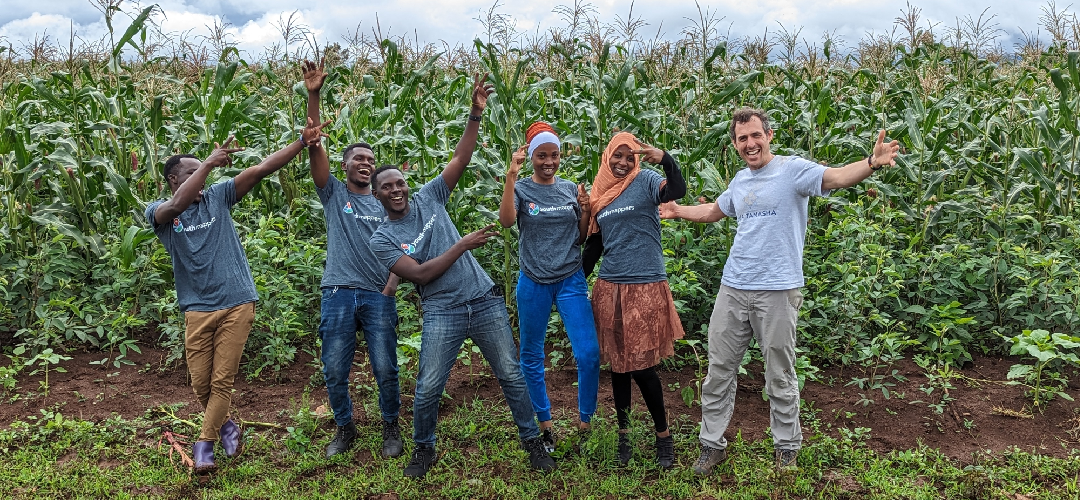
- 200 Youth Engaged