Who We Are...
GeoTE is an open non-state geospatial actor who are voluntarily focusing on making a world a better place by developing and managing open source geospatial datasets, piloting open geospatial technologies and open geospatial innovations to effectively, efficiently, and sustainably support development and management of natural resources globally.
Our Vision
Aspiring future where society will be equipped with the ability to utilize geospatial technology to bring a sustainable solution to challenges in the society
Our Mission
Promoting community engagement in applying open-source technologies while working in a network that enables a self-sufficient connected ecosystem to ensure efficiency, productivity, and quality services.
Our Culture
GeoTE tradition and norms revolve around uniting citizen science with hard science to support development for all.
Our Values
GeoTE believes in nurturing open Data-Technologies-Innovation nexus (DTI). As an open organization, GeoTE places its entire value on actualizing the interface of data, technology, and innovation, empowering communities to shape their own future.
Our Team
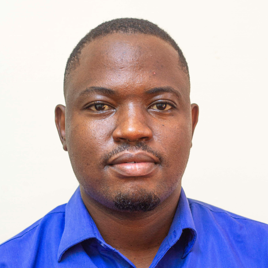
Meet the brilliant minds behind GeoTE - a diverse team united by passion, expertise, and a shared commitment to excellence.

Erick Tamba Mnyali
Co-founder & Executive Director
Emmanuel Richard Mahe
Human Resource Manager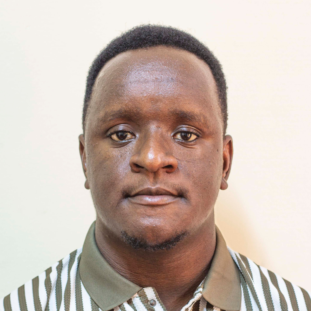
Ezekiel Edgar Kiariro
Director of Programs
Tatu Sospeter Kazimoto
Finance Manager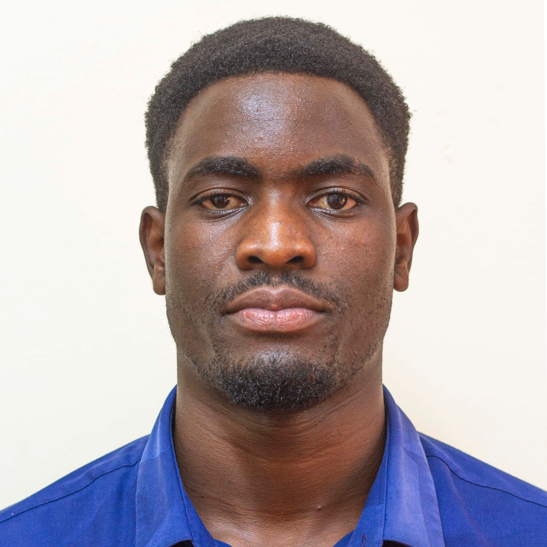
Kelvin Sospeter Manase
Legal Affairs and Community Engagement
Juliana Benard Mugina
Secretary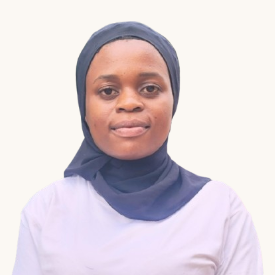
Anna Khalid Mzeru
Membership Coordinator